01
Scan to CAD
Convert Point Cloud data into precise engineering and construction drawings.

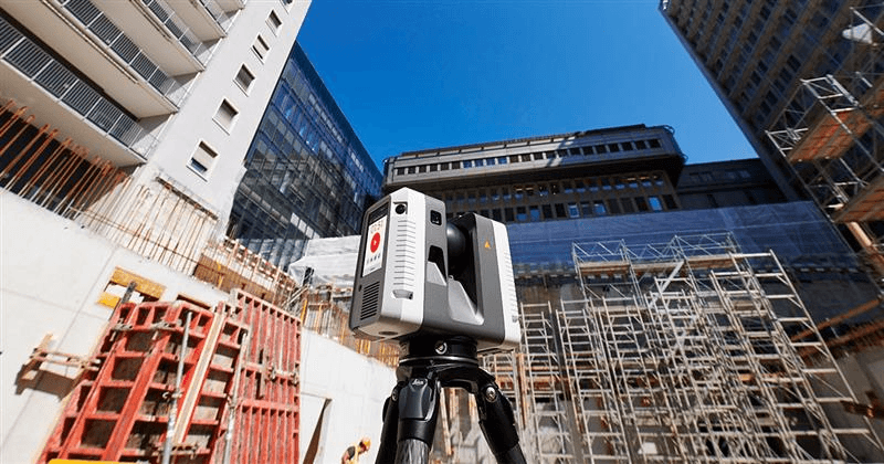
Specialized Reality Capture Services
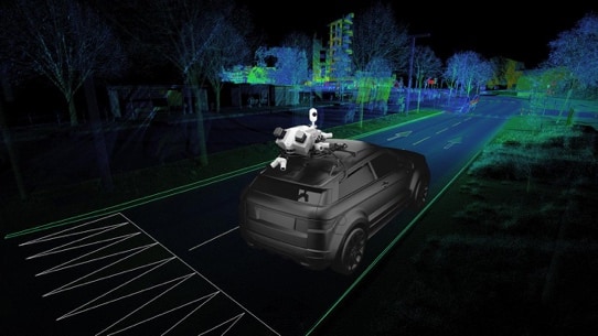
Delivering advanced reality capture and digital surveying solutions using 3D terrestrial LiDAR laser scanning, UAV and topographic surveying, and mobile mapping technologies across complex infrastructure and built environments.
We capture accurate, high-density and survey-grade spatial data to provide a reliable digital representation of existing conditions, supporting better planning, reducing project risk, improving design and enabling confident, data-driven decision-making.
Our services support a wide range of environments, including infrastructure, construction, industrial, mining, complex landscapes and marine projects, from initial site assessment through to design, construction and asset management.
Convert Point Cloud data into precise engineering and construction drawings.
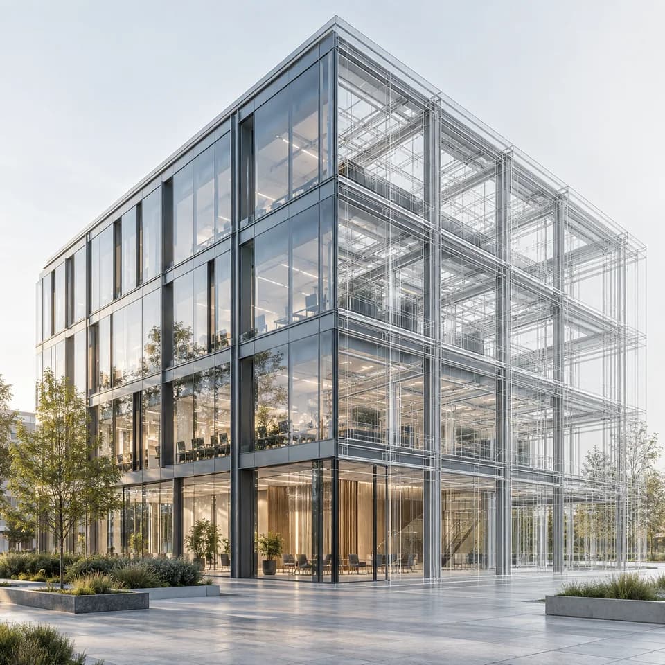
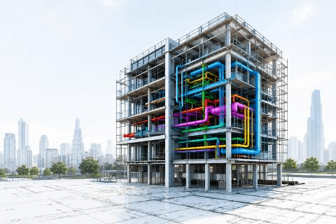
Create intelligent and accurate BIM Models from existing infrastructure, built environments, landscape environments etc.
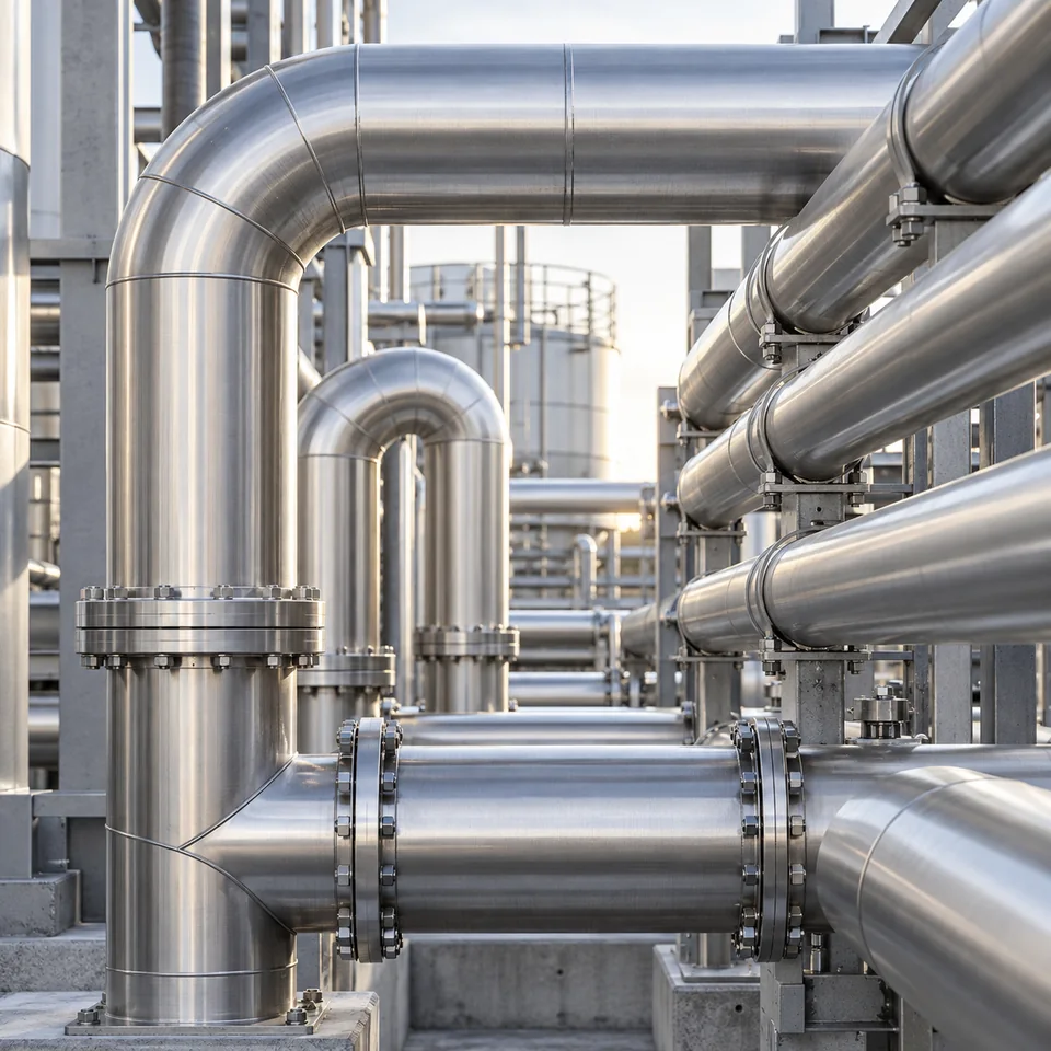
Update plant documentation and piping layouts using verified scan data.
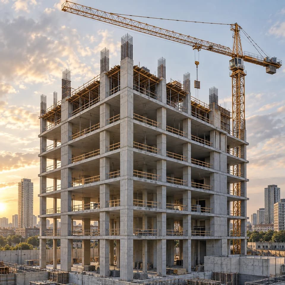
Ensure installed works align with approved design specifications.
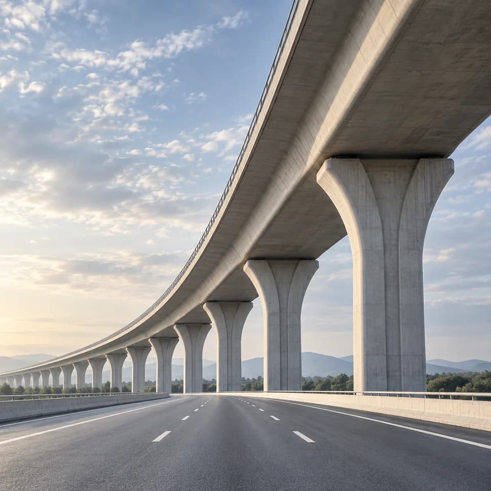
Track construction progress with accurate time-based spatial comparison.
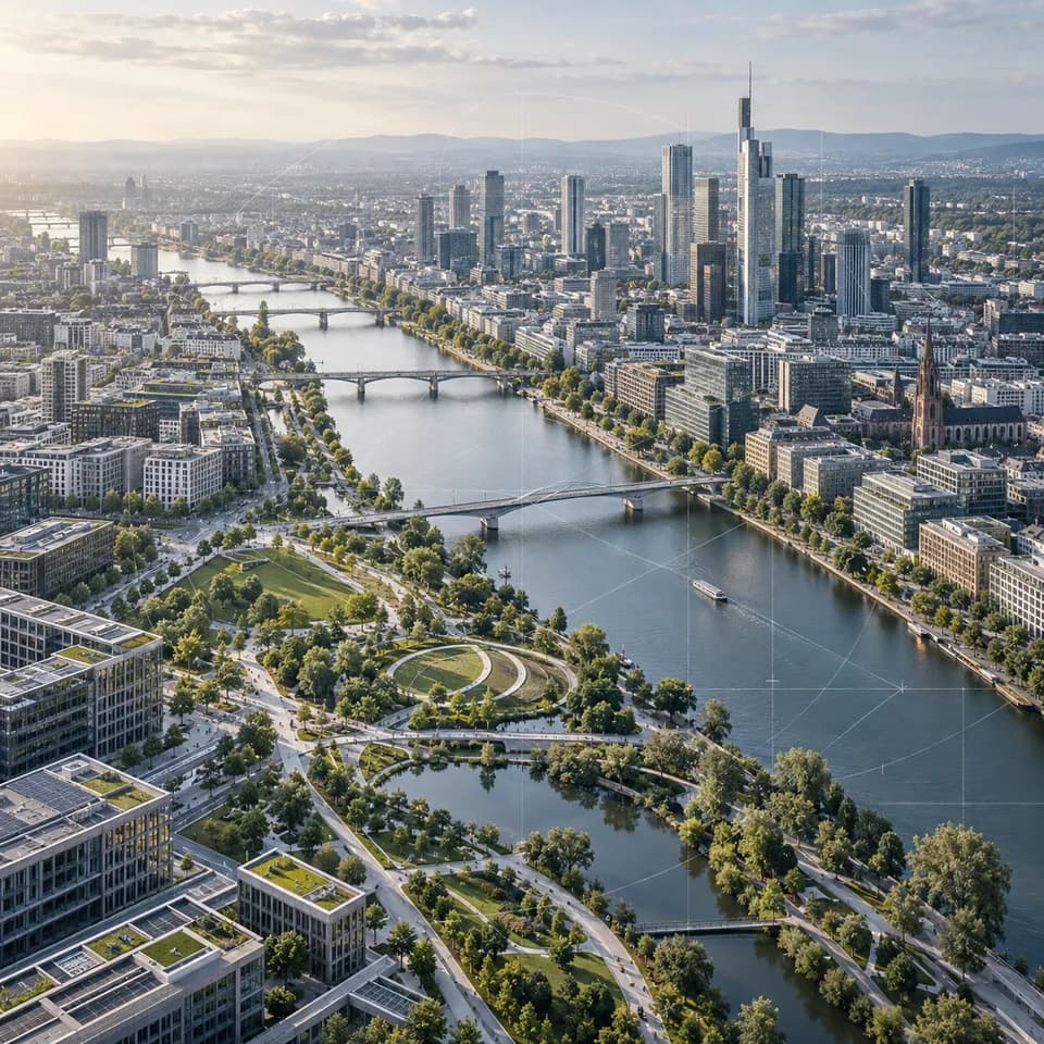
Extract accurate material quantities directly from digital models.
Evaluate structural integrity and identify maintenance requirements.
Detects design conflicts before construction to reduce costly work.
Core services
Explore related pathways under Digital Services — designed for clarity, built for delivery.
Start the conversation